Went for a hike with Dad today.
 |
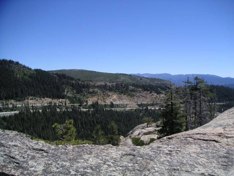
| Castle Peak, though the trees |
Up to Donner Pass, then out around the mountain onto the Pacific Crest Trail. It was 66'F when we arrived at 11 AM. Sunny, clear, and strong gusts of wind bursting through the pass. There were no mosquitoes today, but sunscreen was mandatory. In my big Indiana Jones hat and a bright orange Aloha shirt I was ready to go, slinging my yellow backpack (which I spent nearly a week researching and another week for it to show up by mail order: still a good buy) and my GPS in my palm, we left the trail-head and went South under the trees and over the rocks.
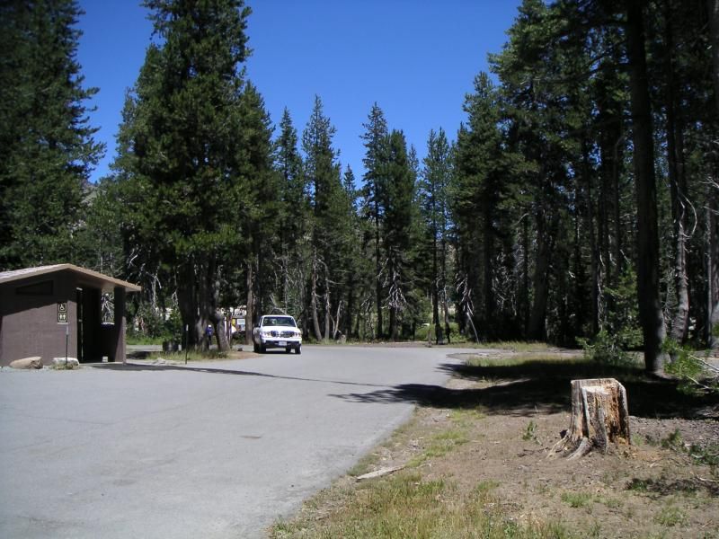 |
| Trail head and parking lot, just East of Boreal Ski Resort |
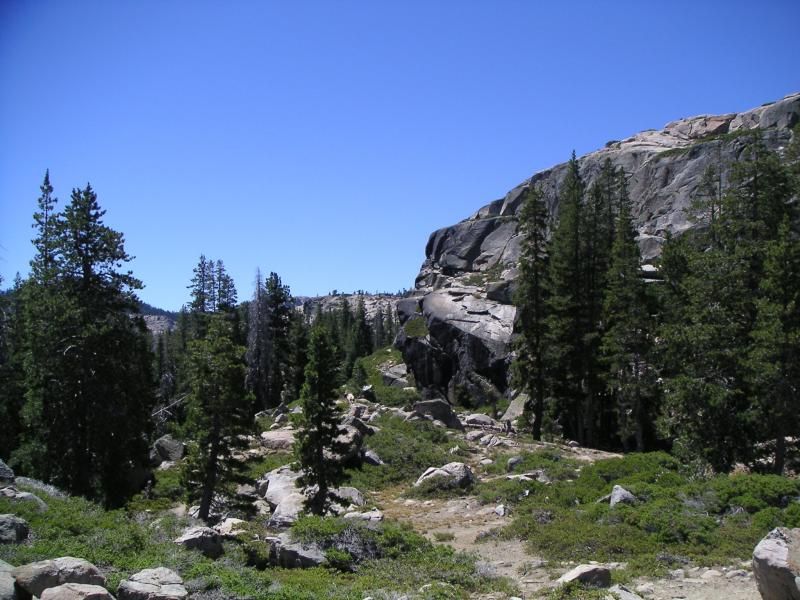
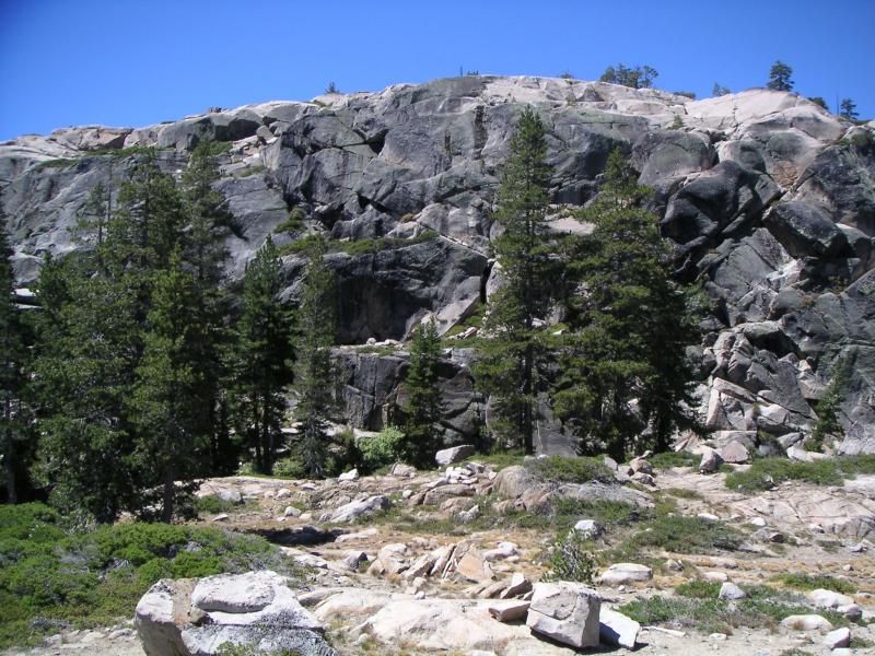
The trail winds through forests and along cliffs with overhangs like this. I heard some Chuckar Partridge calling from up there. They don't usually come this far north. They tend to be in the White Mountains and the Inyo Range near Bishop and Big Pine and near the Bristlecone Pine Forest above Westgaard Pass.
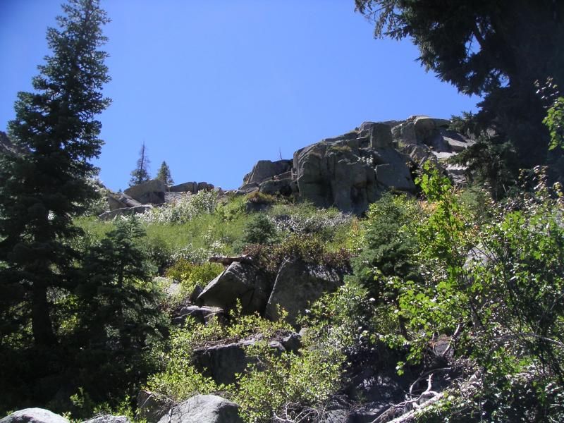 |
| Looking up from the trail |
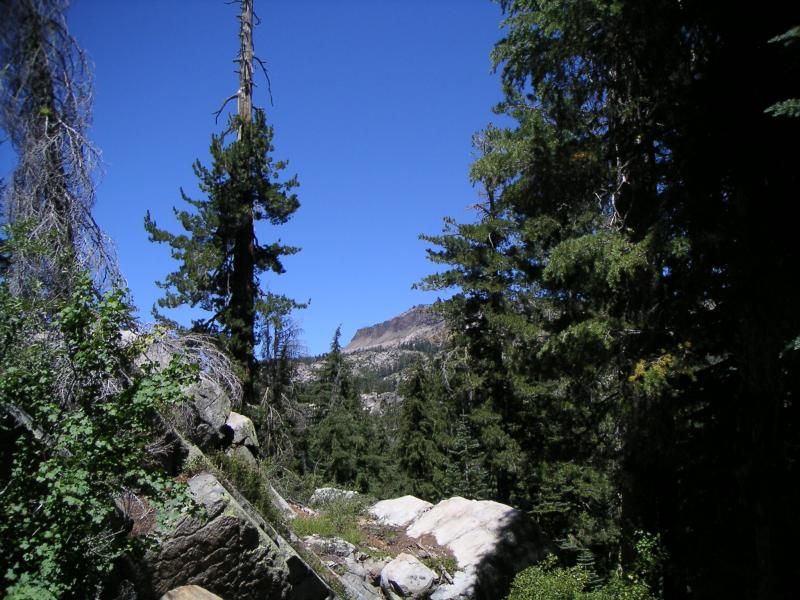
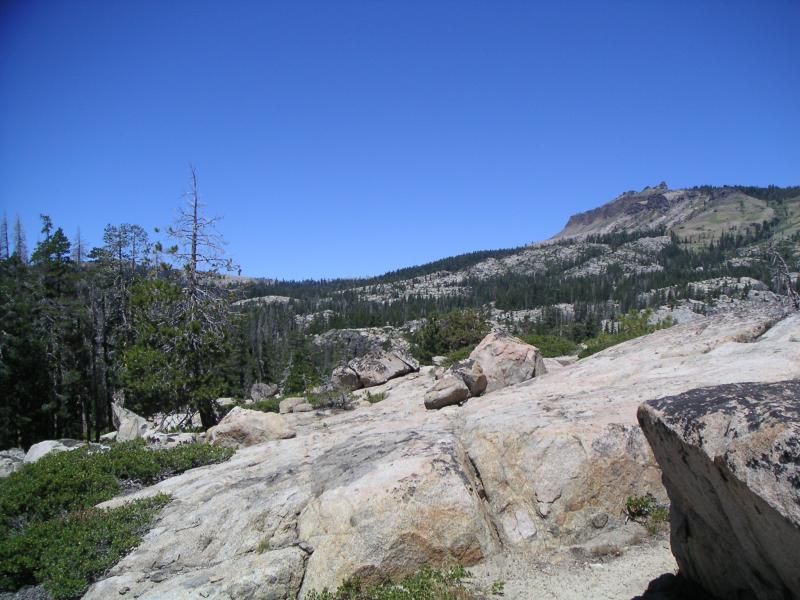
 |
| Castle Peak, north of Donner Pass |
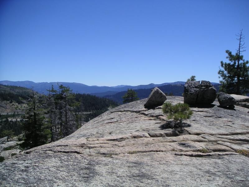
We hiked through the forest, past blooming flowers, tall trees, and stunning vistas.
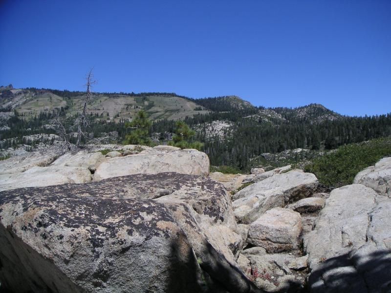
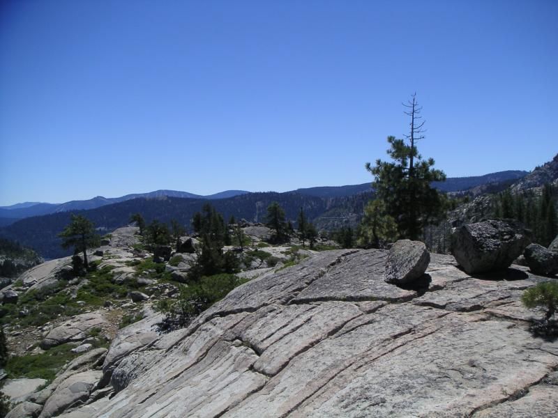 |
| View South |
 |
| Interstate 80 |
Right after I took this photo, a burst of wind knocked my hat off and over the cliff. Being a geologist, I was undeterred, found a safe way down, and retrieved it. The hat cost $89 + tax. And I love it.
 |
| North |
 |
| East |
There were many flowers blooming, despite it being August. The snow only melted about 50 days ago.
 |
| Profusion of wild flowers |
 |
| High Sierra Wild Flowers, in sun. |
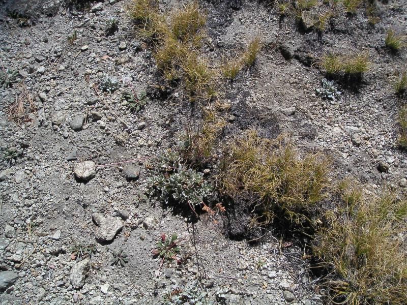 |
| Tiny plants clinging to life in decomposing granite soil. |
We took a detour over to Azalea Lake, a new place for me to visit. Its a short ways over a ridge from the PCT.
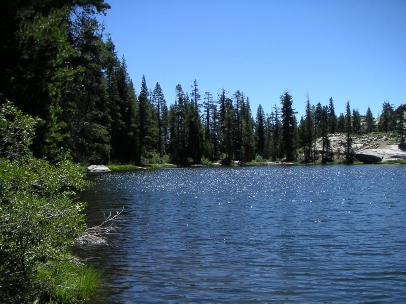 |
| Azalea Lake |
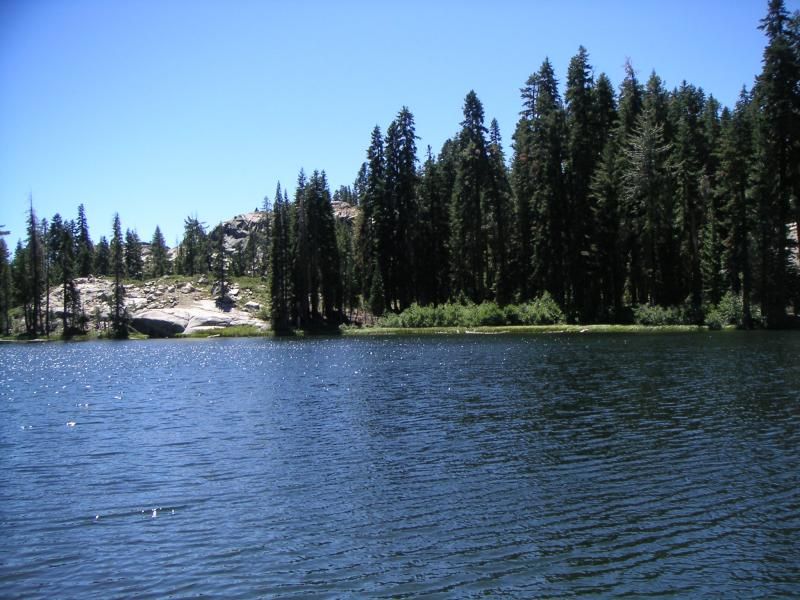 |
| Across Azalea Lake |
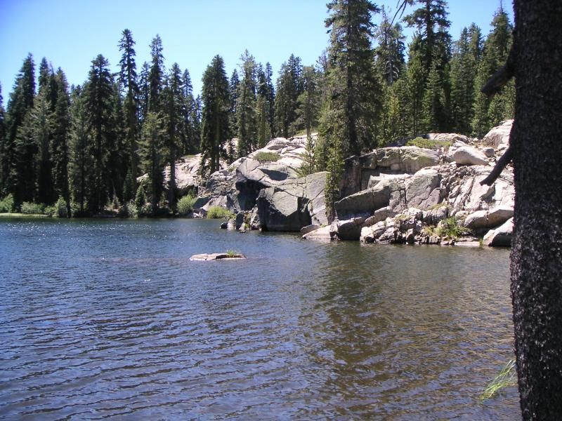 |
| Granite cliffs on NW side of Azalea Lake |
Very pretty, trail runs on the East side of the lake. If you stay on it, you climb a ridge and find another lake. The granite underneath stops the water quite well.
 |
| PCT |
 |
| Lake on the other side of this cliff |
My GPS worked great. I turned on WAAS, which is the Russian satellites I think, and I found my location even faster and more precisely than before. Having an accurate map, with topos and water features and the U R HERE arrow on it? Sweet. And its so light its really not hard walking with it in my hand. The screen is very visible in sunlight, being TFT, and even in sunglasses is quite easy to read. I am really pleased with it. It tracked my hike the way up and back.
Also, I am noticing more than ever that I have long legs for my height. I really eat up the distance compared to my Dad. He's 72, of course, but still, the extra 3 inches in my legs, requiring significant movement of any car seat prior to being able to get in, well, you really notice it on the trail. The new hiking boots are great. Much better than my old ones.
It really was a stunning day.

No comments:
Post a Comment